
Coastal Storm Modeling System
Coastal Storm Modeling System
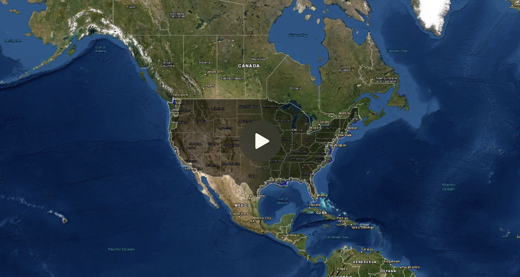
The Coastal Storm Modeling System (CoSMoS) makes detailed predictions of storm-induced coastal flooding, erosion, and cliff failures over large geographic scales. CoSMoS was developed for hindcast studies, operational applications and future climate scenarios to provide emergency responders and coastal planners with critical storm-hazards information that can be used to increase public safety, mitigate physical damages, and more effectively manage and allocate resources within complex coastal settings.
Sea Level Rise Viewer
Sea Level Rise Viewer
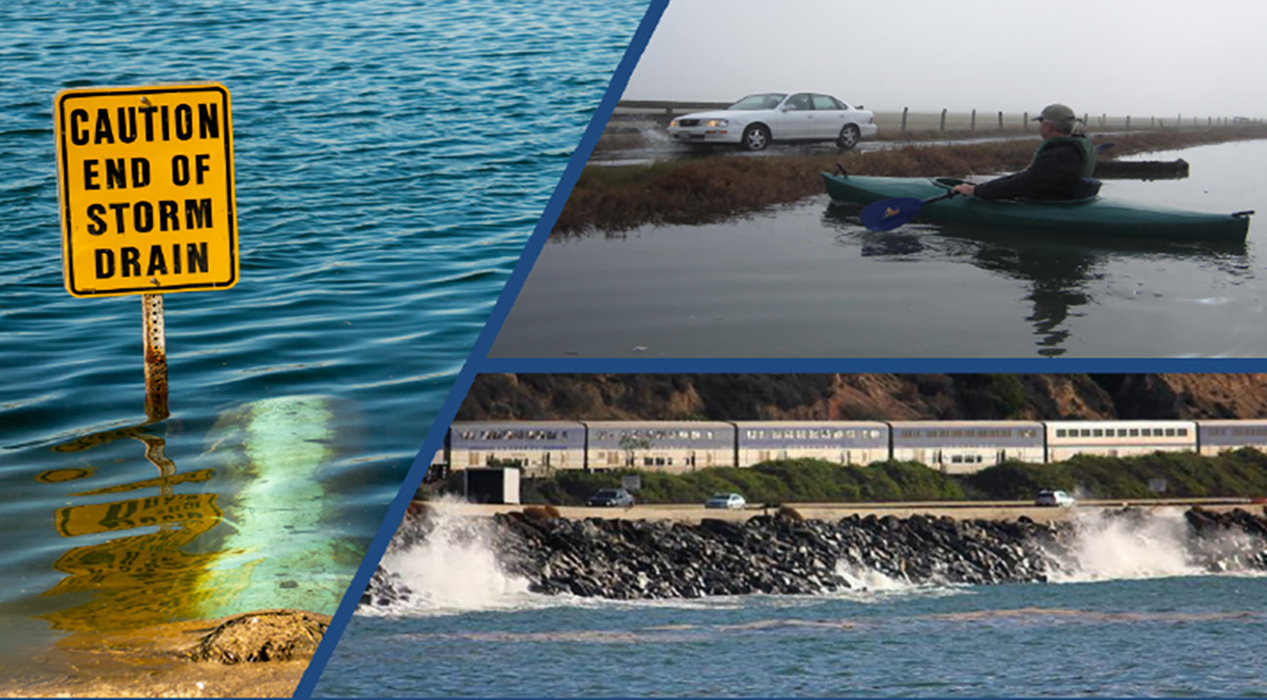
This sophisticated web mapping tool is worth exploring. It provides an opportunity to visualize potential impacts from sea level rise through maps and photos, to learn about data methods through documentation, and to share maps and links via email and social media. Check out photo simulations of how future flooding might impact local landmarks, as well as data related to water depth, connectivity, flood frequency, socio-economic vulnerability, wetland loss and migration, and mapping confidence.

Cal Poly Humboldt Sea Level Rise Institute
Cal Poly Humboldt Sea Level Rise Institute
As a core vision, the Cal Poly Humboldt Sea Level Rise Institute “envisions a diverse network of collaborators working together across disciplines, sectors, and ways of knowing to develop sea-level rise research and planning that informs equitable, sustainable, and community-centered local climate action”.
Abstract – Establishing a University, Tribal, and Community Partnership for a Resilient California North Coast: Sea-level rise (SLR) is and will continue to be a pressing issue in the rural, North Coast region of California, especially since nearby Wigi (or Humboldt Bay) is experiencing one of the fastest rates of relative SLR on the U.S. West Coast. In this paper, we argue that SLR presents a transformative opportunity to rekindle environmental relationships and reshape the future of the California North Coast and beyond. As the preeminent higher education institution of the region, Cal Poly Humboldt has the responsibility to be a leader in education, research, and planning for climate resilience. We describe efforts of the Cal Poly Humboldt Sea Level Rise Institute to establish a university-Tribal-community partnership that braids together different approaches and ways of knowing to develop research and planning that supports a resilient California North Coast. Since Wigi is projected to experience the effects of SLR sooner than the rest of the state, the North Coast region is poised to act as an incubator for new ideas and solutions, including Indigenous knowledge systems, and to play a role in influencing equitable, resilient, and transformative SLR adaptation processes in other parts of the state and the world. This will require developing programming and expertise in specific disciplinary areas, but, more importantly, will require the development of opportunities and spaces for various disciplines, ways of knowing, and sectors (e.g. Tribal nations, academia, government, NGOs, private companies, and community groups) to converge and bring the best of what they have to address climate-induced challenges and opportunities.
California Coastal Commission
California Coastal Commission
The Coastal Act mandates the California Coastal Commission to “protect, conserve, restore, and enhance” the state’s coastal resources. The Commission has long considered sea level rise impacts, erosion rates, tsunami vulnerability and other effects of a dynamic climate in decision making. And in light of current trends in greenhouse gas emissions and increased global temperatures, the Commission is investing significant resources to help California prepare. Sea level rise is expected to accelerate in the coming decades, with scientists projecting as much as a 66-inch increase in sea level along segments of California’s coast by the year 2100. Check out the many sea level rise resources available on the Commission’s website to gain a better understanding of sea level rise planning.
Principles for Aligned State Action
Principles for Aligned State Action
17 state agencies met in 2020 to develop and approve Sea Level Rise Principles for use in planning, policy setting, project development, and decision making. The principles are a living document, and formal endorsement from