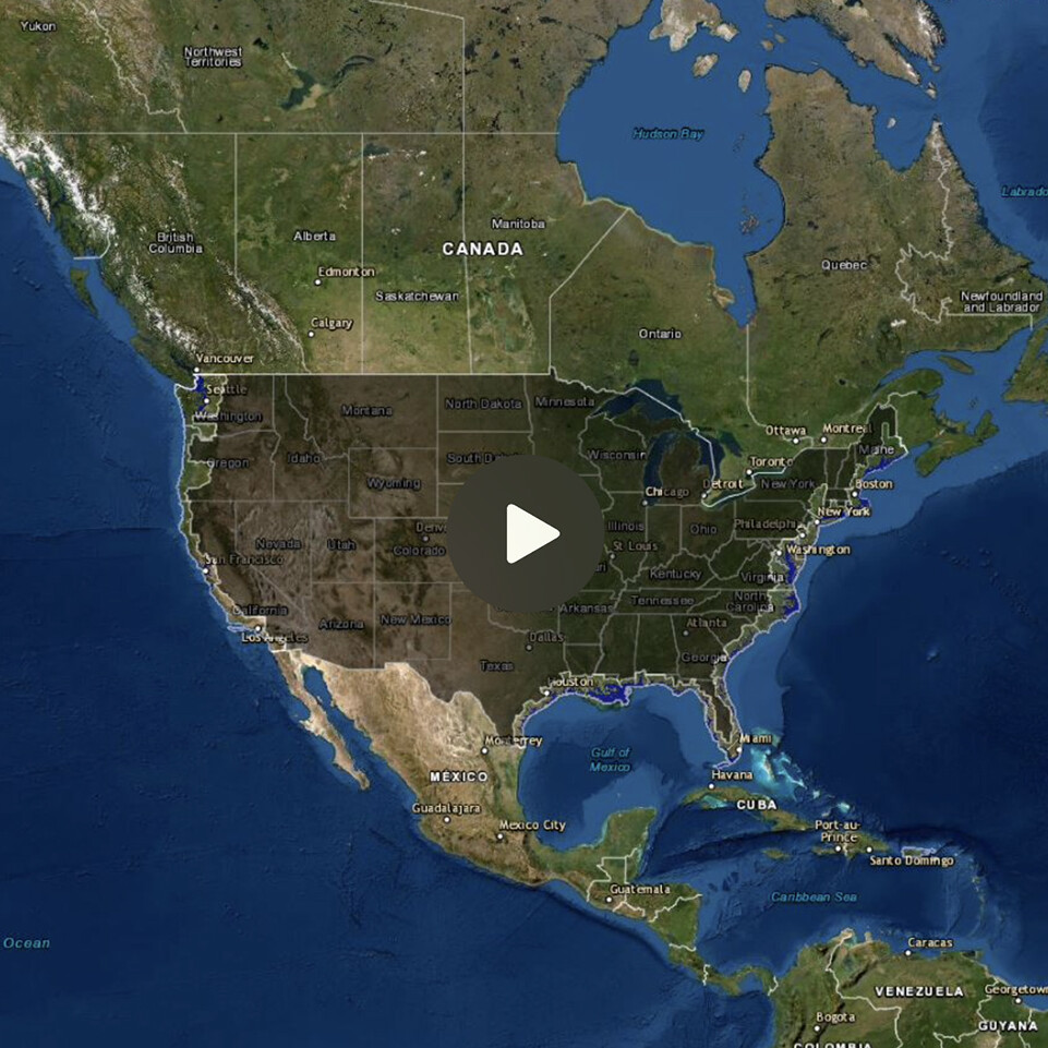
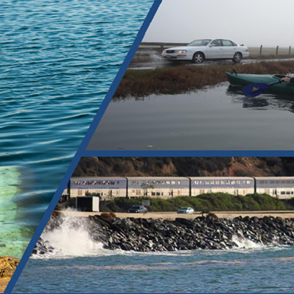
California’s coastline includes more than 1,270 miles and is home to 26.3 million people. Rising seas, increased erosion due to more frequent and intense storms, and tsunami hazards present challenges that will require a coordinated and well-resourced response. There is no one size fits all solution, so it is essential that local communities come together to find solutions.
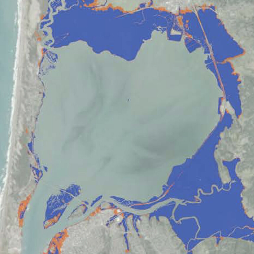
The Plan will focus on site-specific analysis of the scenarios and impact of sea level rise, tsunami hazards, and increased wave erosion to mitigate expected sea level rise and inform future development considerations related to Noyo Harbor. This risk assessment will use Statewide and California Coastal Commission guidance on multiple timetables (such as 2050 and 2100), include resources such as the National Oceanic and Atmospheric Administration (NOAA) Sea Level Rise Viewer, the United States Geological Survey (USGS) Coastal Storm Modeling System (CoSMoS), and others following current best practices.
Findings related to Noyo Harbor will be incorporated into the City’s Local Coastal Program, along with findings from the County of Mendocino’s Sea Level Rise Resiliency Strategy (SLRRS). The County SLRRS is also funded by the Coastal Commission’s LCP Grant Program, and all sea level rise analysis will be a cooperative effort between the City and County. Joint workshops and community outreach events will be coordinated – inviting visual storytellers to work in concert with technical subject matter experts to shape complex processes, tailored to the community.