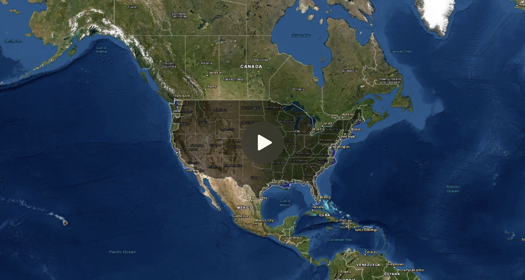
Sea Level Rise Viewer
This sophisticated web mapping tool is worth exploring. It provides an opportunity to visualize potential impacts from sea level rise through maps and photos, to learn about data methods through documentation, and to share maps and links via email and social media. Check out photo simulations of how future flooding might impact local landmarks, as well as data related to water depth, connectivity, flood frequency, socio-economic vulnerability, wetland loss and migration, and mapping confidence.